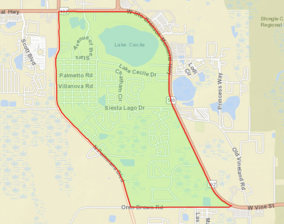
Kissimmee Location Detail


Return to Dashboard

Kissimmee Zip Codes

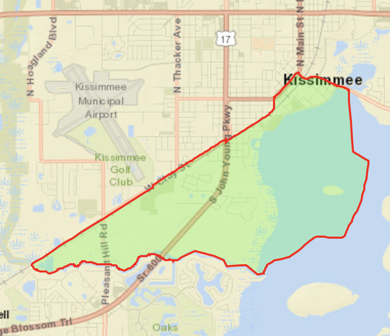
Census Tracts Surveyed

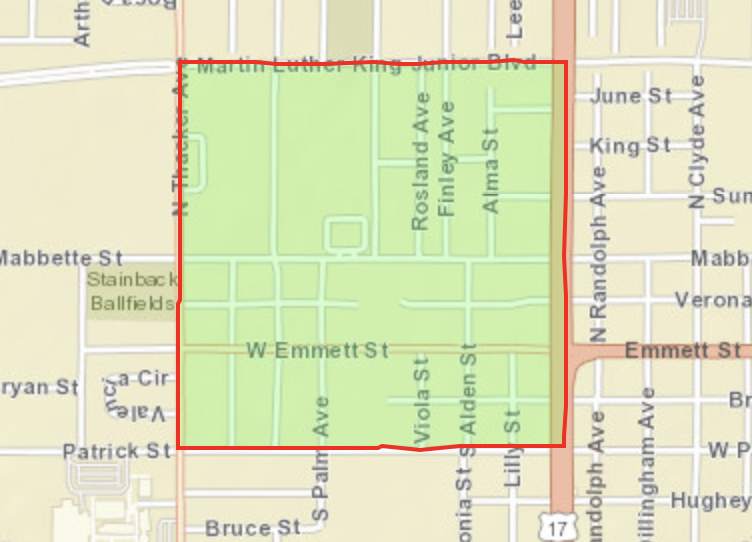
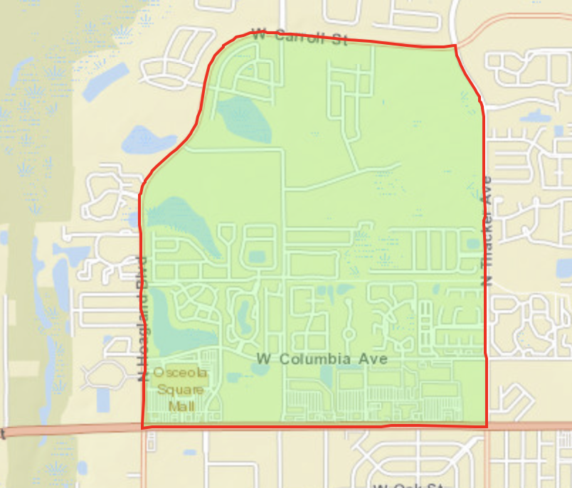
Census Block Groups Surveyed

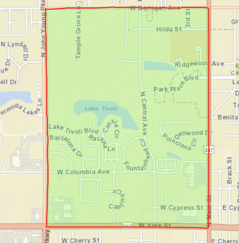
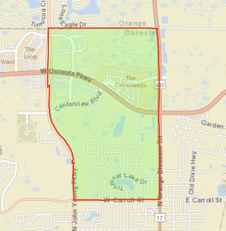
Kissimmee is a city in the Orlando Metropolitan Area in Osceola County, Florida. It has a population of 66,840 in 21,082 households. Kissimmee is in Zip Codes 34741, 34743, 34744, 34746. Kissimmee includes portions of Census Tracts 040901, 040902, 041500, 041600, 041700, 041800, 041900, 042000, 042100, 042200, 042300, 042400, 042701, 042800, 042900, 043100. Kissimmee is served by the Osceola County Unified School District. It is in Congressional District FL-9, State Senate District FL-15, and State House Districts FL-42, FL-43.

Click on BOLD text for detail.


Kissimmee

Census Block Group 120970409022

Population 6,832

  • W Irlo Bronson Mem Hwy to the North

  • Oren Brown Rd to the South

  • W Irlo Bronson Hwy to the East

  • N Poinciana Blvd to the West


Kissimmee

Census Block Group 120970416004

Population 2,541

  • Neptune Rd to the North
  • Knowles Blvd to the South
  • Grass Island to the East
  • Old Tampa Hwy/Pug Mill Rd/W Clay St/CSX Railroad tracks to the West


Kissimmee

Census Block Group 120970418002

Population 1,148

  • Martin Luther King Jr. Blvd to the North
  • Patrick St to the South
  • N John Young Pkwy to the East
  • N Thacker Ave to the West


Kissimmee

Census Block Group 120970420001

Population 7,736

  • W Carroll St to the North
  • W Itlo Bronson Hwy to the South
  • N Thacker Ave to the East
  • N Hoagland Blvd to the West


Kissimmee

Census Block Group 120970421001

Population 10,779

  • Osceola/Orange County Line to the North
  • W Itlo Bronson Hwy & W Carroll St to the South
  • N John Young Pkwy to the East
  • Shingle Creek Regional Park to the West


Kissimmee

Census Block Group 120970422001

Population 3,777

  • W Donegan Ave to the North
  • E Vine St to the South
  • N Main St to the East
  • N John Young Pkwy to the West


Kissimmee

Census Block Group 120970422003

Population 3,032

  • Osceola/Orange County Line to the North

  • W Carroll St to the South

  • N Orange Blossom Trail to the East

  • N John Young Pkwy to the West


uufbr-green-sanctuary        

This website is maintained by Unitarian Universalist Justice Florida’s Climate Resilience Ministry. It was established by the Green Sanctuary Committee of the Unitarian Universalist Fellowship of Boca Raton under EPA Grant #EQ-00D35415-0. Videos and PowerPoints on this webpage were produced under the auspices of Health Initiatives Foundation, Inc.’s Florida Disaster Resilience Initiative with funding from The Miami Foundation. 

Website designed and maintained by Janice T. Booher, M.S.